A Frontier Stronghold at the edge of the Dreadwood.
In a previous post, I talked about the new Starter Set: Heroes of the Keep on the Borderlands and suggested placing it in southern Keoland, between the Dreadwood and the Hool Marsh, where it naturally ties into the history of the region, the Old Road, and the aftermath of Azure’s Tide, the devastating conflict between Keoland and the Sea Princes.
After reviewing both the new Starter Set and the original Keep on the Borderlands, I designed a regional map and history that firmly roots the Keep into Greyhawk’s 576 CY.
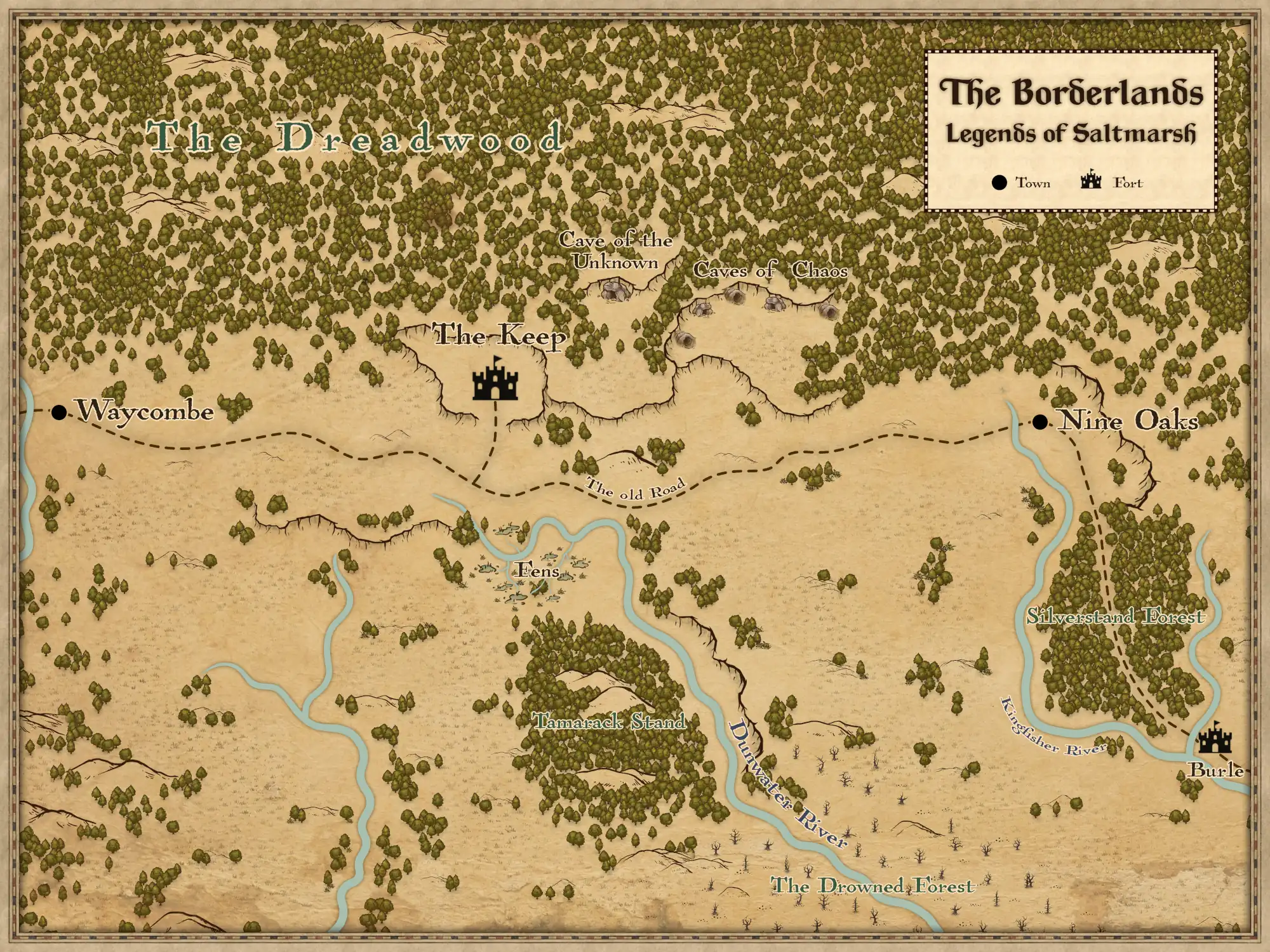
The map is free to download (link here), and it includes several important additions from the World of Greyhawk and Ghosts of Saltmarsh.
Special Notes on the Map
Before diving into the history, here are a few highlights that make this map particularly useful for Greyhawk / Saltmarsh campaigns:
Cave of the Unknown
In the original B2 Keep on the Borderlands, the Cave of the Unknown was deliberately left undeveloped.
“The Caves of the Unknown area is left for you to use as a place to devise your own cavern complex or dungeon maze. You may also wish to expand on the other encounter areas, designing camps, lairs or lost ruins to permit more adventuring.”
The intent was clear: this was a blank canvas for DMs to create their own adventure site or expand the Borderlands further into the wilderness.
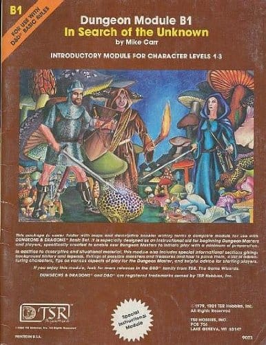
Goodman Games expanded on this idea in their tribute volume, Original Adventures Reincarnated: Into the Borderlands. They suggest placing B1: In Search of the Unknown inside the Cave of the Unknown, effectively turning Quasqueton into the mysterious dungeon. Their version even adds a tunnel connecting the Caves of Chaos directly to the Cave of the Unknown.
Fens: the Dunwater River Headwaters
In the original Keep on the Borderlands, the Fens are described as a cluster of springs and marshy pools feeding a small, unnamed river. In Greyhawk, the Fens are the headwaters of the Dunwater River.
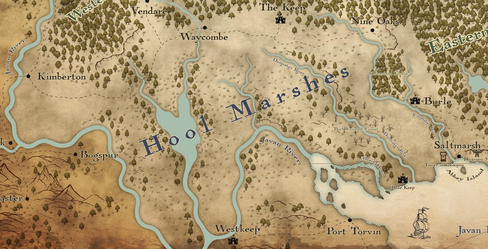
On the map, the Fens and their springs form the northernmost source of the Dunwater, which flows southward through:
- the Tamarack Stand,
- the Drowned Forest,
- into the broader Hool Marsh,
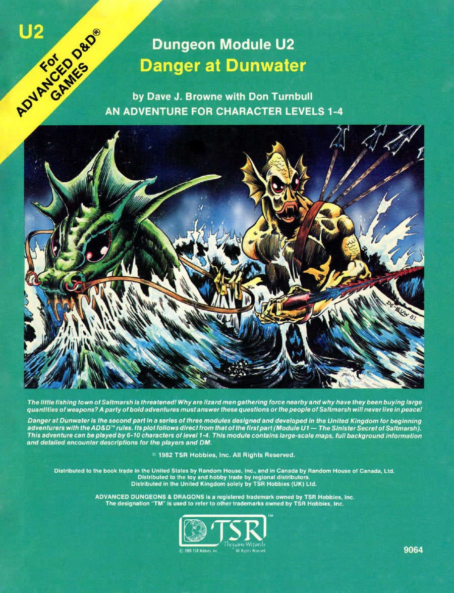
- and finally out into the Javan Bay, which is precisely where U2 Danger at Dunwater is set.
This creates a single, continuous waterway that players can trace from the Keep all the way to the Saltmarsh region, making the geography feel interconnected.
Note: I previously created the Saltmarsh Coastal Map, which features the Dunwater River, its delta, and several keyed adventures and encounter sites. This new Borderlands map is designed to align with that one, allowing adventures to move from the Keep into Saltmarsh and the Javan Bay.
Lizardfolk Connections
The Fens in both Heroes of the Borderlands and the classic Keep on the Borderlands include a Lizardfolk encounter. This becomes especially meaningful when placed in the Greyhawk setting:
- U2 Danger at Dunwater: The Lizardfolk lair lies downstream in the Dunwater Delta.
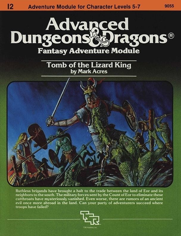
- I2 Tomb of the Lizard King: Begins in the village of Waycombe, a location placed on this map at the southern edge of the Dreadwood and north of the Hool Marsh.
- The Shrine of Semuanya: To reinforce the Dunwater’s importance to the Lizardfolk, I incorporated an element from Ghosts of Saltmarsh, Chapter 1 — Drowned Forest Oddities Table #3 : “Smoke rises from a shrine built on large stones and dedicated to Semuanya, god of the lizardfolk.” I placed this shrine at the point where the Dunwater enters the Drowned Forest.
This makes the Lizardfolk feel ancient, widespread, and significant to the Dunwater River and Hool Marsh region.
The Tamarack Stand & the Drowned Forest
South of the fens the Tamarack Stand transitions into the northern edges of the Drowned Forest, perhaps at one time the Tamarack Stand was larger, becoming the drowned forest as the Hool Marsh and darkness expanded northwards. The Tamarack Stand in the "Heroes of the Borderland" includes some encounters. On a personal note, I have an affinity to Tamaracks, as we had tamarack on our property along the lake, which is one of my favorite trees (soft pine needles and little pine cones). I will look forward to expanding this area in the future.
The Silverstone Stand, Kingfisher River & Burle
The Kingfisher River, Silverstone Stand and the outpost of Burle are included as well, anchoring the map and the road down to Saltmarsh . Burle becomes a natural supply point, ally, or fallback position for adventurers traveling between the Keep and Saltmarsh. I look forward to expanding this and have an upcoming surprise gift for the community - stay tuned.
Waycombe from Tomb of the Lizard King
Waycombe, originally introduced in Tomb of the Lizard King, is featured on the map. This was an adventure I played back in the 1980s, and it left a lasting impression on me. It’s takes place in Greyhawk and the Hool Marsh, and placing the Keep within reach of Waycombe helps tie the whole region together. It also gives another excellent starting point for campaigns moving between the Dreadwood, the Hool Marsh, and the Borderlands.
Tomb of the Lizard King is an incredible level 5–7 adventure, and there’s a 5e update available on DMsGuild.
The Dreadwood
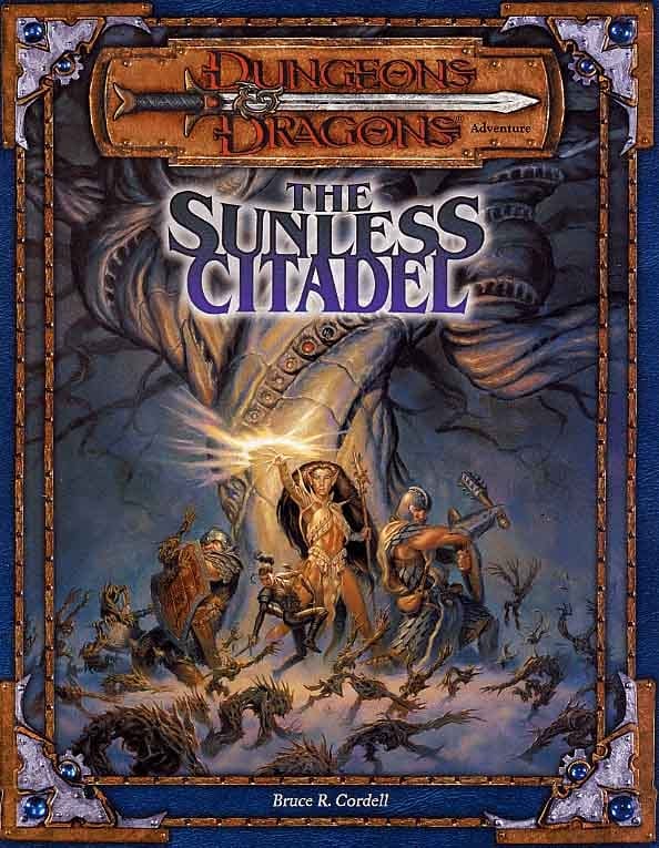
The Dreadwood is a large dark, haunted forest and serves as a natural boundary north of the Keep. It’s one of my favorite regions for dark woodland encounters. The classic adventure Sunless Citadel, also updated for 5e in Tales from the Yawning Portal, fits perfectly within the ancient Dreadwood. In addition, Ghosts of Saltmarsh adds more to the area, including Granny Nightshade and an encounter table to help bring the Dreadwood to life.
Hool Marsh & Baltron's Beacon
The Hool Marsh is home to countless adventures thanks to its mix of landscapes, and another adventure; I7 Baltron’s Beacon (levels 4–8) (5e update) takes place here. It’s another amazing module where the Keep makes a strong starting point before diving south into the marsh. The Hool offers a huge variety of adventure seeds; grasslands, bogs, hidden shrines, lost tombs, swamps, quicksand, dead cypress groves, and more. It’s a wilderness that can take a party in just about any direction.
The History of the Borderlands
For centuries, the Old Road was the only overland route connecting the interior near Kimberton to the coast of the Javan Bay and the Azure Sea. It cut along the southern edge of the Dreadwood before eventually winding its way to Saltmarsh.
When the lower Javan River and the Hool Marsh became navigable and West Keep provided security along the route, the river quickly became the main artery of trade. Barges and boats sailed down the Javan River to Port Torvin, where goods were transferred to ships bound for the wider world. As river traffic increased, the Old Road gradually fell into disuse.
The small settlements along it; Waycombe, Nine Oaks, and Saltmarsh, remained little more than quiet hamlets. Travelers were scarce and they remained on their own to deal with the dangers.
To the north, the Dreadwood loomed; dark, ancient, and dangerous.
To the south, the vast Hool Marsh is an expansive swamp.
Locals came to call the stretch between the Dreadwood and Hool Marsh, the Borderlands. It wasn’t a political boundary so much as a frontier, where the wilderness and dangers pressed in from all sides.
Azure’s Tide & the Collapse of River Trade
The Sea Princes changed everything. (see Azure's Tide)
By 446 CY, pirate forces controlled the lower Javan and the Javan Delta. The West Keep on the Javan River fell. Port Torvin fell soon after. River trade died almost overnight.
Kimberton became the last Kingdom of Keoland's foothold on the Javan River.
With the lower Javan River lost, merchants had only one route left: Overland. Along the Old Road from Kimberton all the way to Seaton.
This sudden surge of caravan traffic transformed the Old Road, but drew predators as well. Bandits, smugglers, lizardfolk raiders, and worse began to stalk travelers. Creatures from both the Dreadwood and the Hool hunted along the route.
Burle did what it could, but it was too distant to secure the entire Borderlands.
Keoland needed a new stronghold.
The Founding of the Keep
In 448 CY, the Crown ordered the construction of a fortified outpost halfway between Waycombe and Nine Oaks. The site overlooked the Old Road and sat at a natural crossroads between the marshes, the woods, and the fens that eventually become the Dunwater River.
It was intended to serve as:
- A military garrison
- A caravan rest point
- A trade hub
- A safe refuge
- A defensive position against both Dreadwood and Hool Marsh.
Construction began immediately. By 452 CY, the curtain walls were finished. Over the next decade, the site expanded into the full-fledged stronghold now known as: The Keep on the Borderlands.
A Fort in the Wild
From its earliest years, the Keep delt with far more than bandits. Strange creatures prowled from the Hool Marsh. The Dreadwood was a source of other darkness and creatures. And to the east, the scattered caves, referred to as the Caves of Chaos, held dangers and secrets that would lure generations of adventurers.
Nearby settlements prospered from the traffic:
- Waycombe supplied food and timber
- Nine Oaks serviced caravans and additional supplies
- Burle provided troops and rangers
- Saltmarsh became the major fishery supplying the region.
- Seaton shipped goods onward into Keoland
The Keep’s taverns, smiths, merchants, and barracks became the lifeblood of the region.
The Borderlands Today
In 576 CY, the Keep stands as one of the most important frontier outposts in southern Keoland. It remains:
- A defensive position against the encroaching wilderness
- A safe mid-point between the Javan River interior and the Azure Sea
- A based for adventures reaching into the Dreadwood, Hool Marsh, and Dunwater River.
This single location can easily link into:
- Tomb of the Lizard King
- Baltron's Beacon
- Danger at Dunwater
- Ghosts of Saltmarsh
- Sunless Citadel
- The wider Hool Marsh exploration
- Dreadwood expeditions

Member discussion: